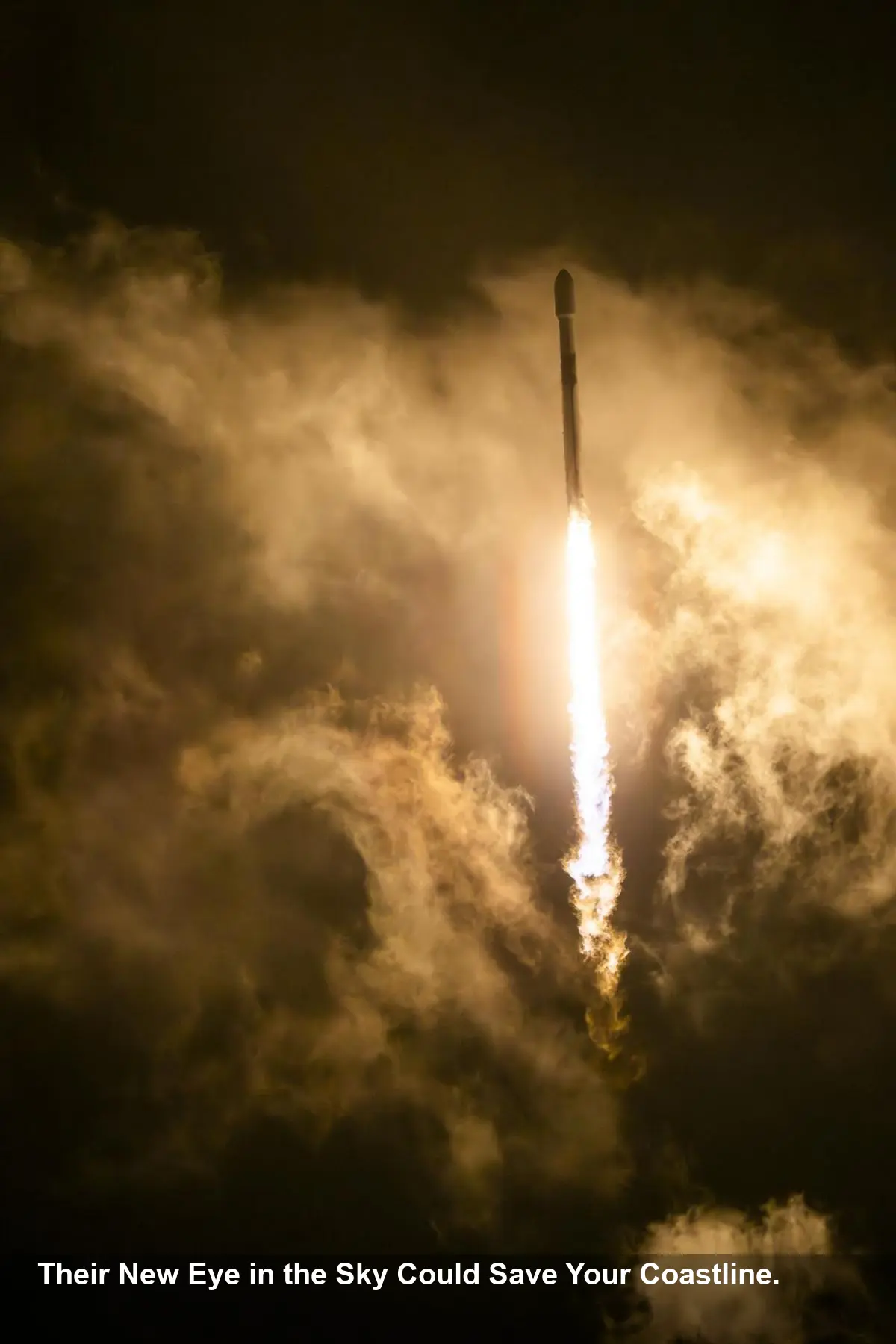
NASA & SpaceX Launch New Eye on Rising Oceans

- NASA and SpaceX have successfully launched the Sentinel-6B satellite, a crucial US-European mission to monitor Earth's oceans.
- The satellite will provide unprecedentedly accurate data on sea-level rise, which is vital for improving hurricane and flood forecasts.
- This mission represents a major international collaboration between NASA, ESA (European Space Agency), EUMETSAT, and NOAA.
- Sentinel-6B will continue a decades-long record of sea-level observation, taking over from its predecessor to become the new global standard.
A New Guardian in Orbit
In a critical step forward for climate science, NASA and its partners have successfully launched the Sentinel-6B satellite aboard a SpaceX Falcon 9 rocket. Lifting off from Vandenberg Space Force Base in California, the satellite is now on its way to begin a vital mission: tracking the Earth’s rising oceans with unparalleled precision. This mission is expected to arm scientists and decision-makers with the data needed to confront the growing threats of climate change.
Protecting a Planet Under Pressure
The Sentinel-6B satellite, roughly the size of a pickup truck, is more than just an object in orbit; it's a crucial tool for safeguarding our future. By measuring sea levels down to the inch, its observations will directly feed into U.S. flood predictions, helping to protect coastal communities, vital infrastructure, and commercial interests like shipping and fishing.
“Understanding tidal patterns down to the inch is critical in protecting how we use our oceans every day on Earth,” said Nicky Fox, associate administrator for the Science Mission Directorate at NASA Headquarters. "Sentinel-6B will build upon the legacy of Sentinel-6 Michael Freilich by making sea level measurements that improve forecasts used by communities, businesses, and operations across the country."
A Global Effort for a Global Problem
The mission’s success hinges on a powerful international partnership. Sentinel-6B is a joint effort between NASA, ESA, EUMETSAT (European Organisation for the Exploitation of Meteorological Satellites), and NOAA, as part of the European Union’s Copernicus program. This collaboration underscores the global consensus on the need for accurate climate monitoring.
“This achievement demonstrates what can be accomplished when international agencies and industries work together toward a shared goal,” said Simonetta Cheli, director of ESA’s Earth Observation Programmes. “Sentinel-6B will ensure we continue to collect the high-precision data needed to understand our changing climate.”
The Science Behind the Satellite
Sentinel-6B is the latest in a series of missions that have been monitoring our oceans since the 1990s. It will initially fly just 30 seconds behind its predecessor, Sentinel-6 Michael Freilich, to ensure the data is perfectly calibrated. Once this phase is complete, it will take over as the official reference satellite for all global sea-level measurements.
More Than Just Sea Level
Beyond tracking sea height, the satellite will gather critical data on wind speeds, wave heights, and atmospheric temperature. Because water expands as it warms, the satellite can identify warmer ocean patches—the fuel for hurricanes. This information will dramatically improve marine weather forecasts and help predict the intensity of developing storms, providing a crucial advantage in emergency preparedness.
“Sentinel-6B is a testament to the value of NASA’s partnership missions to put actionable satellite information and science into the hands of decision-makers on the ground,” said Karen St. Germain, director of NASA’s Earth Science Division.


